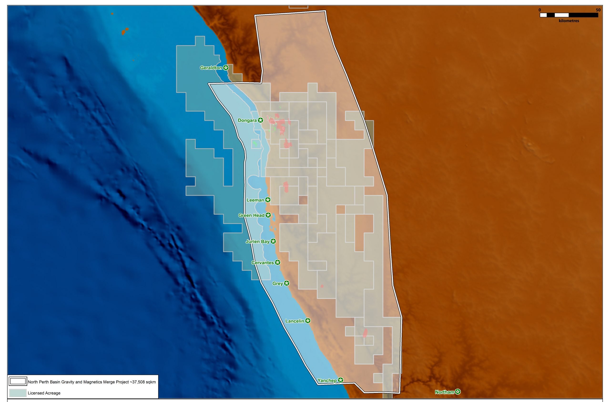
The Perth Basin Magnetic and Gravity Merge MC Project consists of >37,000 sq km of reprocessed and merged gravity and magnetic data.
The products available for licensing include a seamless merge of the available ground and airborne gravity data. Detailed ground gravity data and 11 gravity gradiometry (FTG/AGG) surveys have been reprocessed and merged with the regional data.
Image products of the gravity and gravity gradiometry data are available, as well as image products of the merged airborne magnetic data. The package also includes a comprehensive presentation including discussion on the various survey specifications and initial interpretation observations.
A significant uplift through the reprocessing enhances the interpretability of the existing ground and airborne data, and will provide the licensees with insights into the regional geological and structural framework and the application of these data for the Perth Basin petroleum systems.
For further information on the Perth Basin Magnetic and Gravity Merge MC Project, please contact us directly.
Project parameters
| Project Size | >37,000 sq km |
|---|


