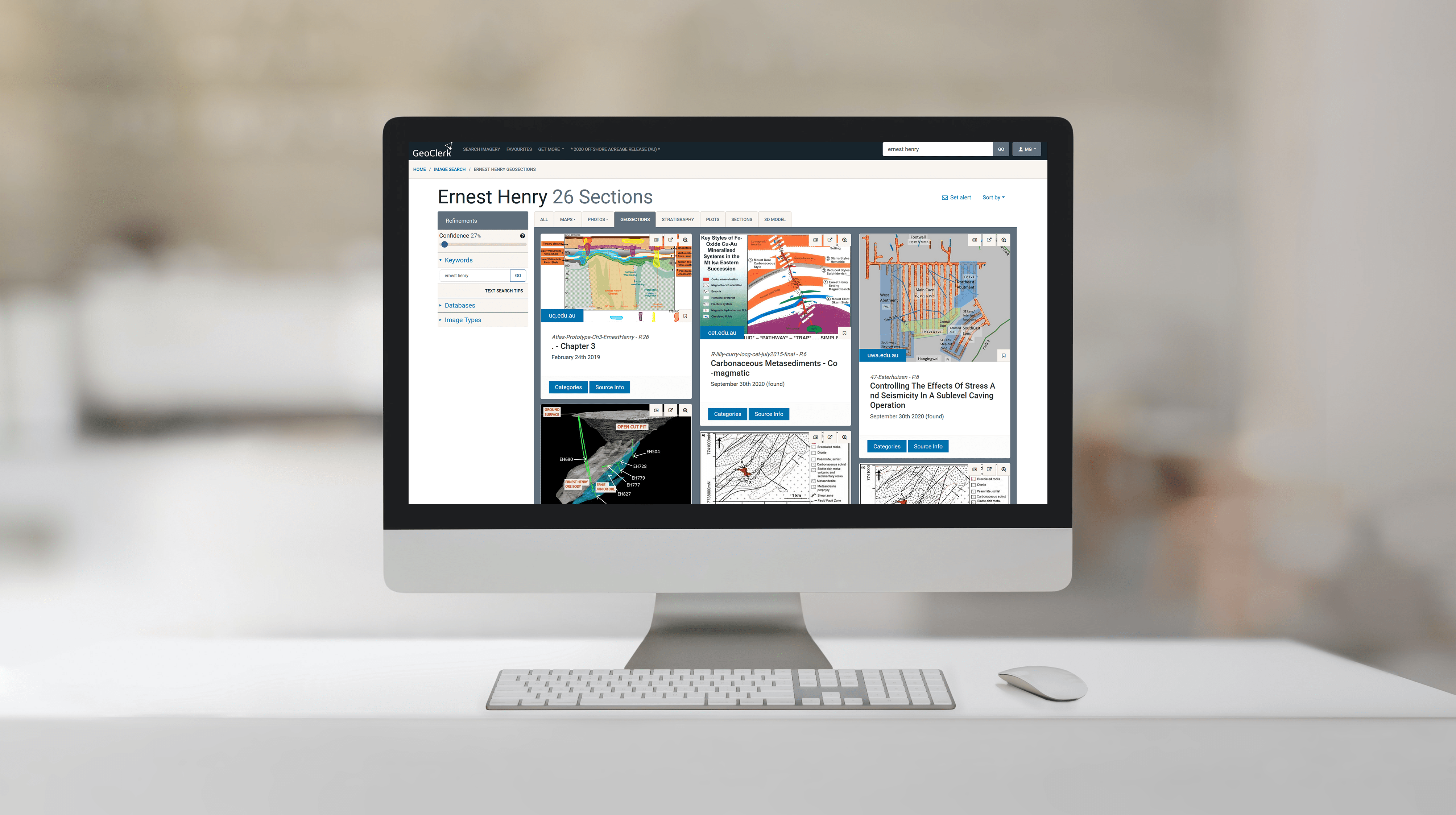
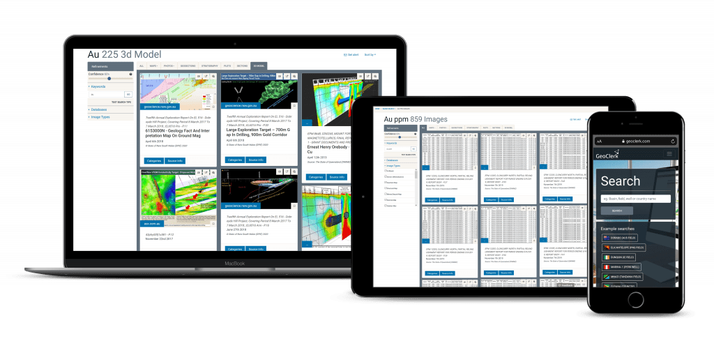
GeoClerk unlocks a wealth of valuable, industry relevant information that was previously hidden within and around images in legacy geoscience publications. GeoClerk classifies and extracts imagery and pertinent data from unstructured documents, which is then collated in searchable and filterable geo-imagery libraries for convenient access.
A wide range of geoscience images, from maps, sections, 3d models, lithostratigraphy, geophysics, and photos from thin sections to location shots, are collected and catalogued from websites, presentations, reports, and scanned documents. A limitless library of geoscience images is centralised onto the subscription-based platform, enabling the industry to view all published geoscience imagery in one platform.


