Searcher commences acquisition of 3D survey, offshore Papua New Guinea
20.06.2023
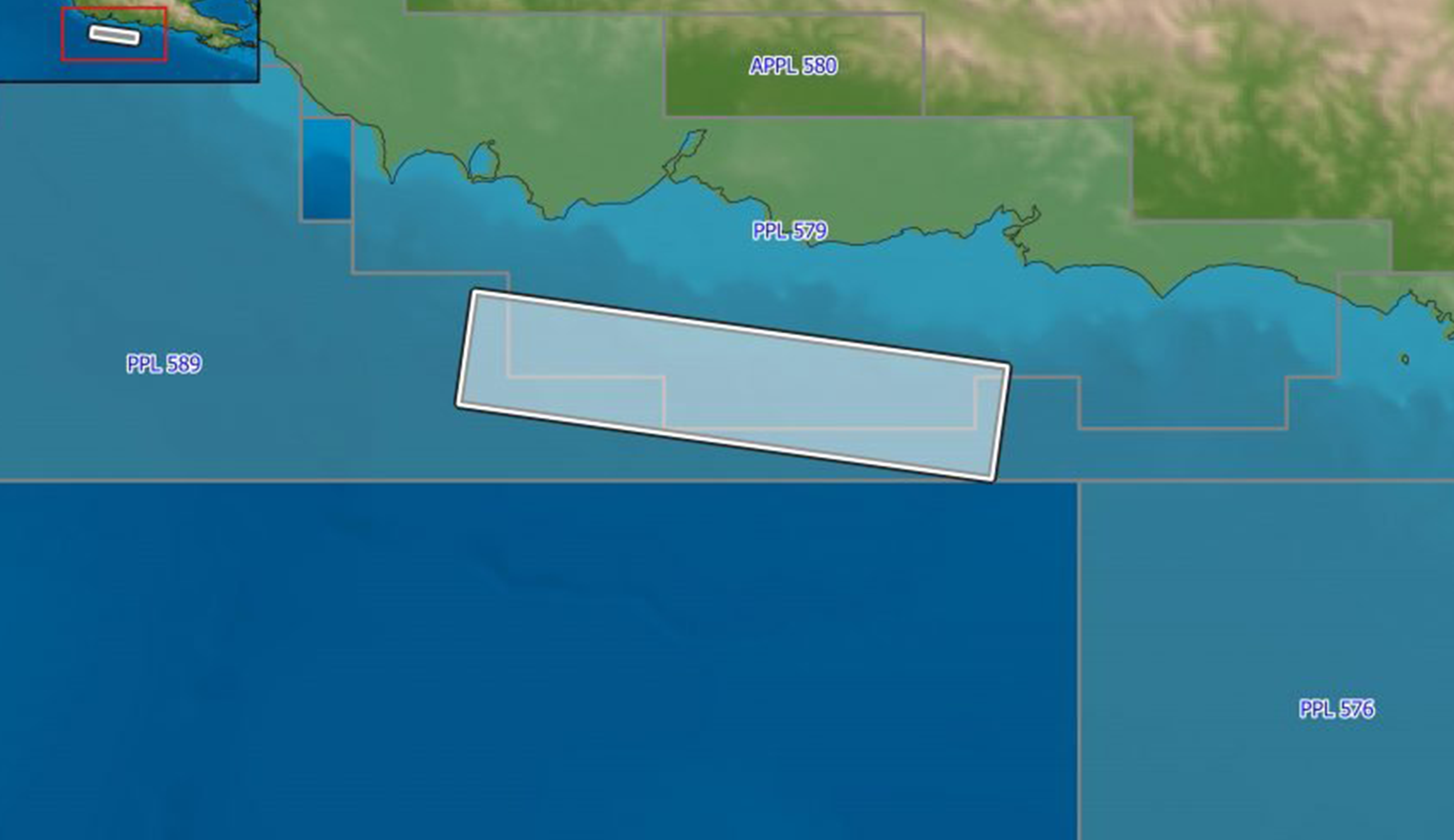
Searcher in cooperation with the Department of Petroleum & Energy and Larus Energy is pleased to announce that it has commenced the Nanamarope 3D Multi-Client Seismic Survey located over multiple permits in the offshore Gulf of Papua.
The 1,919 km2 Nanamarope MC3D is designed to evaluate and de-risk several prospective plays identified within the Mesozoic and Tertiary intervals, improve imaging of secondary play types as well as resolving the velocity contrasts in the subsurface. This 3D is crucial to enhancing the geological understanding of the sparsely explored offshore Gulf of Papua and developing drill ready prospects like those recently identified by a supermajor in the permit immediately adjacent to the Nanamarope 3D.
Searcher have built a vast library of regional seismic, geochemical, and airborne data across the Gulf of Papua, a region which has attracted substantial interest from international exploration companies. Searchers comprehensive data library has revolutionized the understanding of the tectonostratigraphic evolution of the region, unveiling numerous play types with vast untapped hydrocarbon potential including a new Mid-Miocene turbidite play.
“We are thrilled to expand our presence in Papua New Guinea with the Nanamarope 3D survey, which will directly facilitate the next level of exploration in this rapidly developing global hotspot,” said Mr. Alan Hopping, Managing Director of Searcher. “Employing advanced technologies in acquisition and processing, we are delivering high-quality data which empowers the industry to optimize exploration and development strategies. Fast-track deliverables for the Nanamarope 3D will be available by late Q3 2023, ensuring timely access for stakeholders and industry evaluation.”
