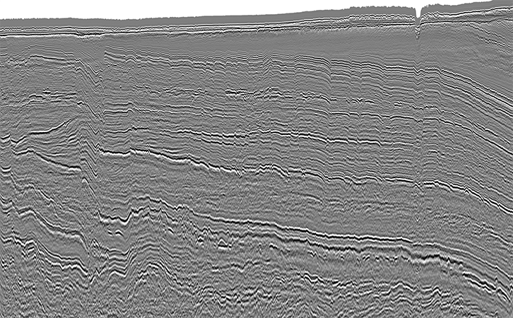
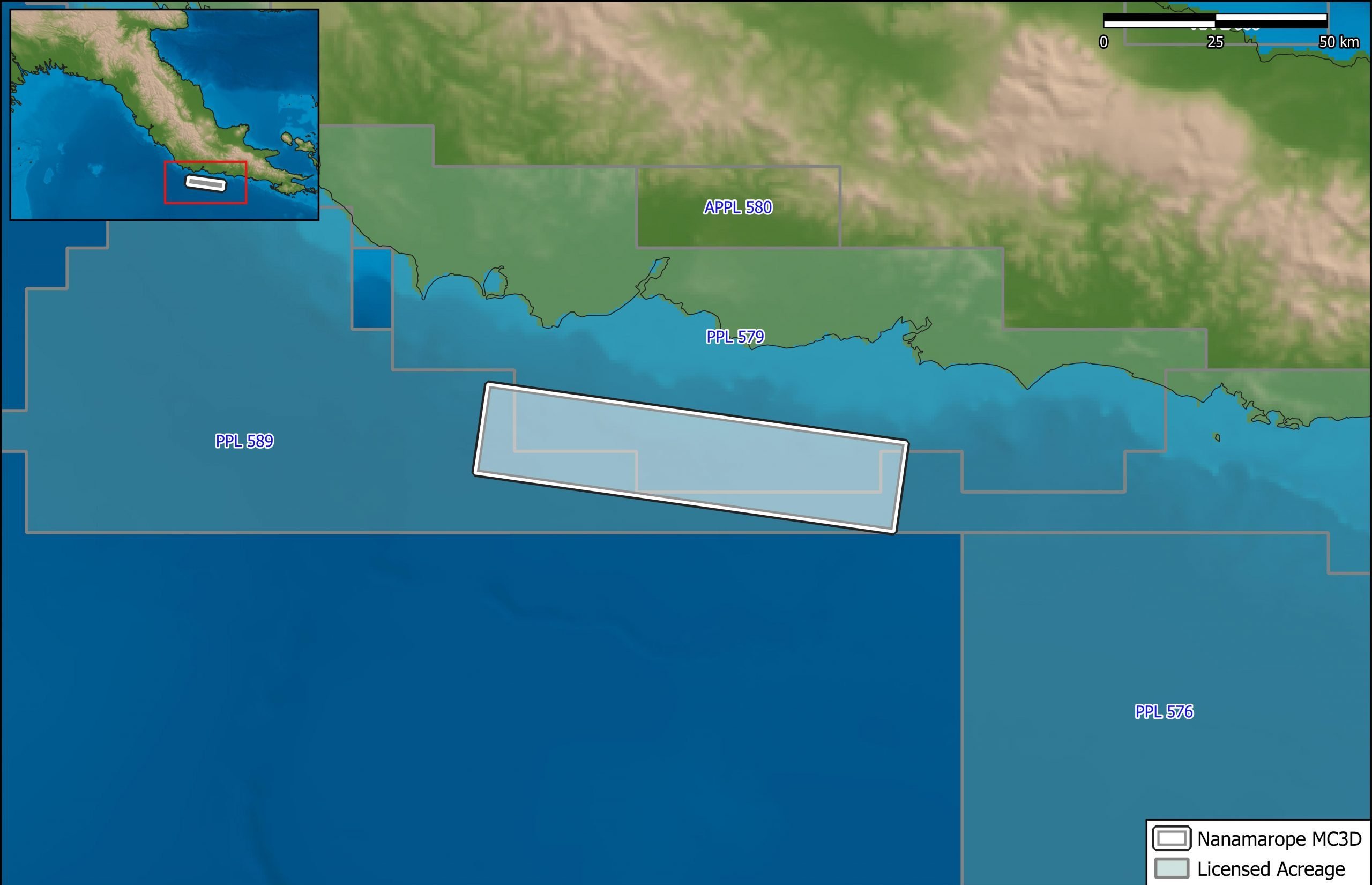
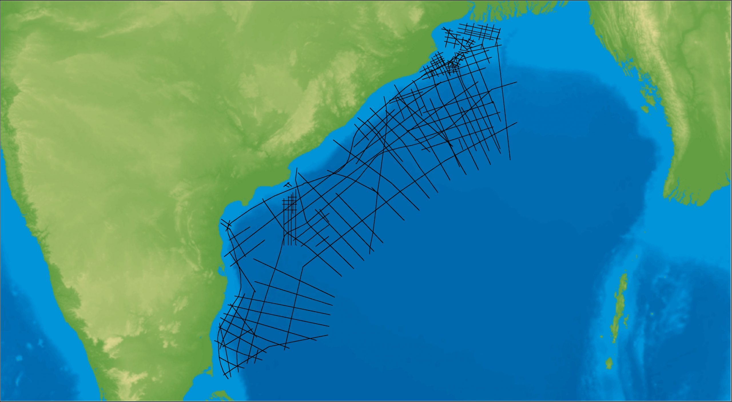
Snøspurv 2D Seismic Survey comprises of 6,286 km of acquired high resolution 2D data and covers the Bjarmeland and Finnmark Platforms.
The survey provides well-ties to 24 planned and completed exploration wells, including Norvarg, Gouvca, Wisting, Atlantis and Apollo. This provides the critical tie to Barents Sea South East, which is now open for exploration.
The survey’s improved data quality provides better understanding of results to date and more confident definition of structural separation, trap geometry, reservoir distribution and deep structure.
The Snøspurv Seismic Survey is designed to enhance the seismic resolution of the prospective Permian, Triassic and Jurassic sections of the Bjarmeland and Finnmark Platforms.

Project parameters
| Project Size | ~6,200 km |
|---|---|
| Key Processing Parameters | SRME Kirchhoff PSTM |
| Deliverables | Final Full Angle PSTM Volume (AGC) SEGY True Amplitude Angle Stacks (Near, Mid, Far, Full) SEGY Final NMO Corrected PSTM Gathers SEGY Final Stacking Velocity ASCII Final Migration Velocity ASCII Navigation Data P190 Acquisition Report PDF Processing Report PDF |
Project partners
TGS


